Craft Details
Skills Needed:
Categories:
Share This Craft
Citygrid – Laser Cut City Map
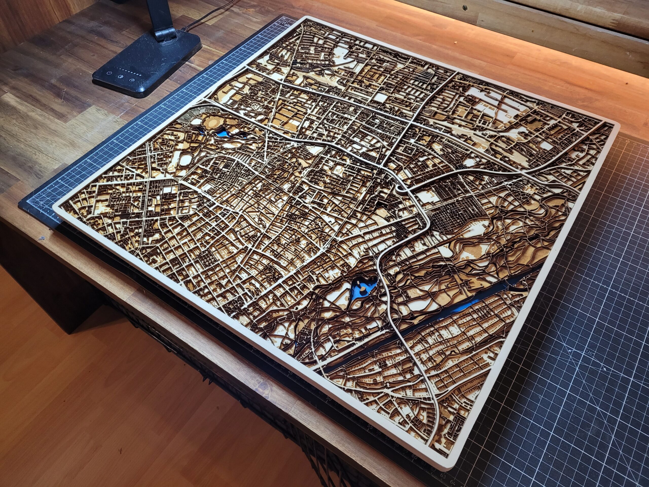
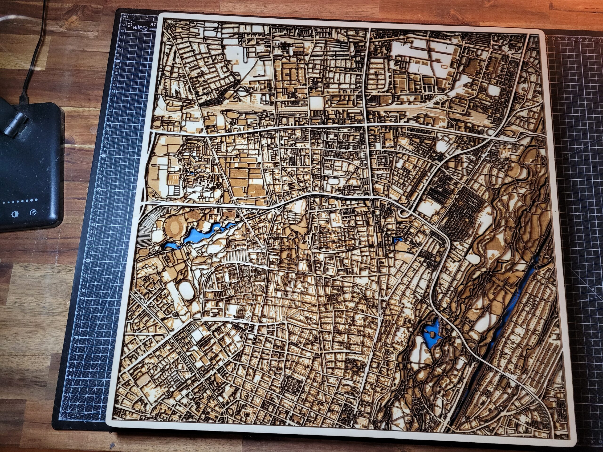
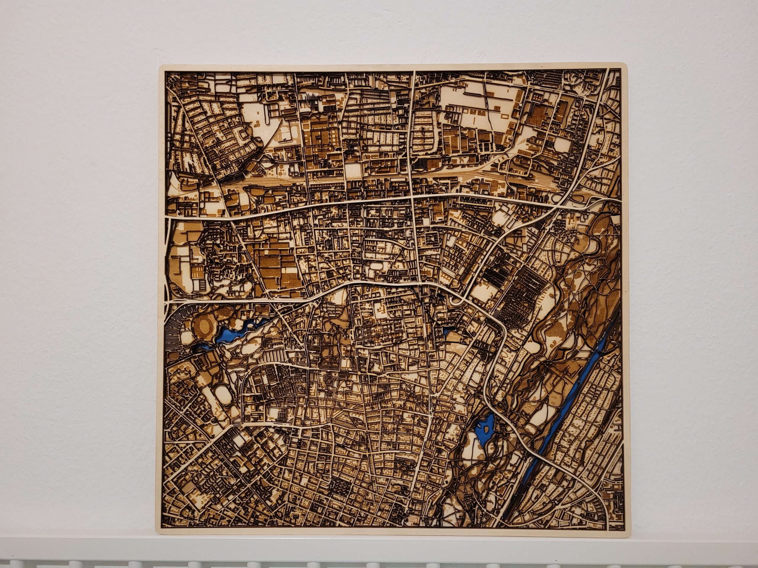
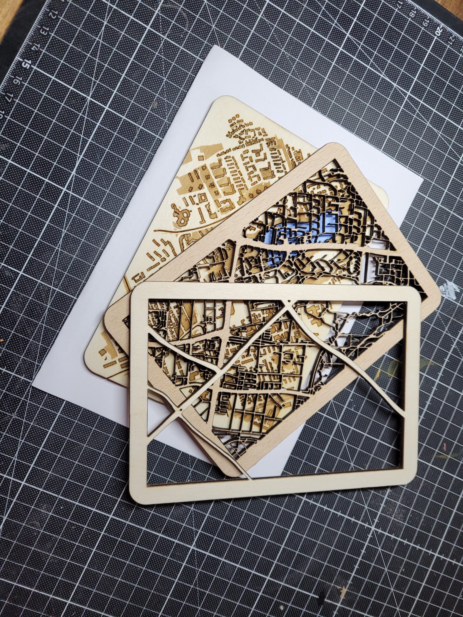
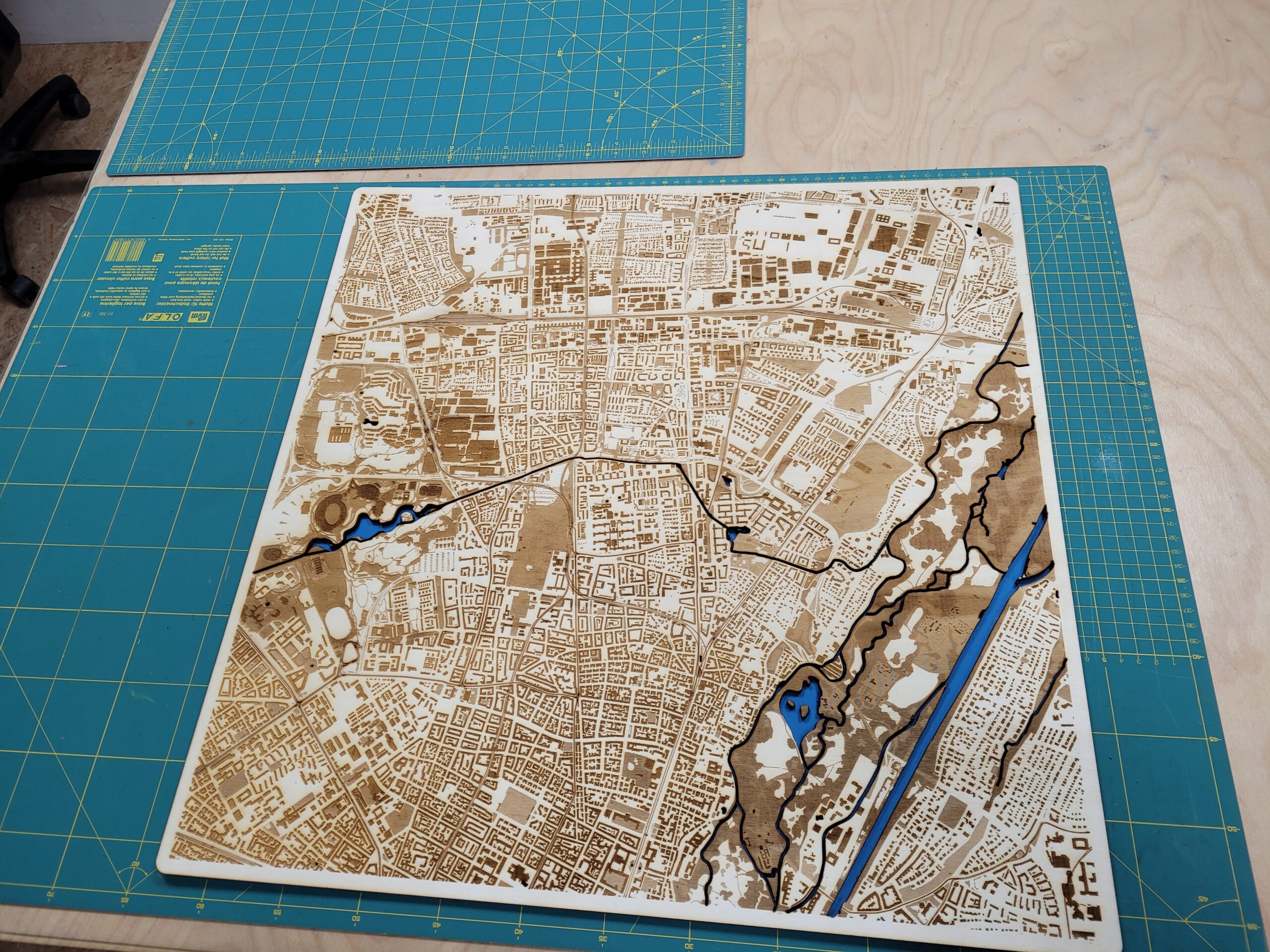
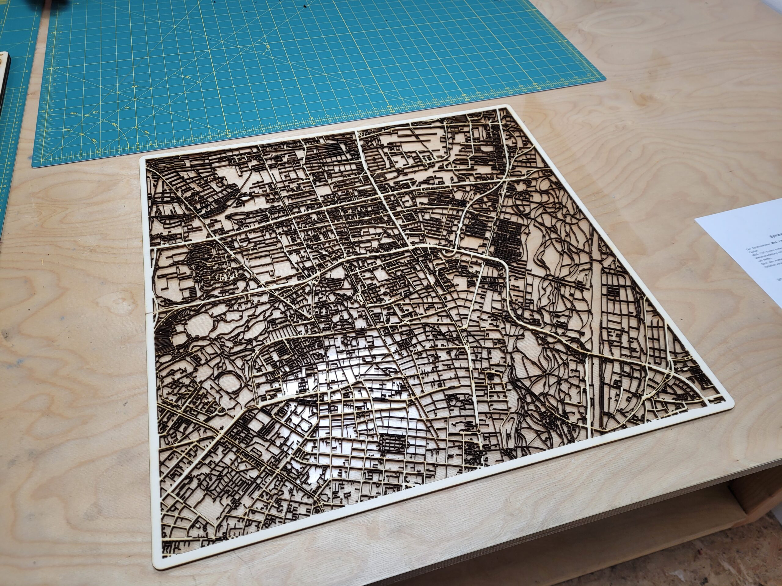
Inspired from different lasercut art projects we thought about making a city-grid map from wood. This worked out to be a very nice birthday present for a friend who moved recently to another location. Feel free to guess the city 😉
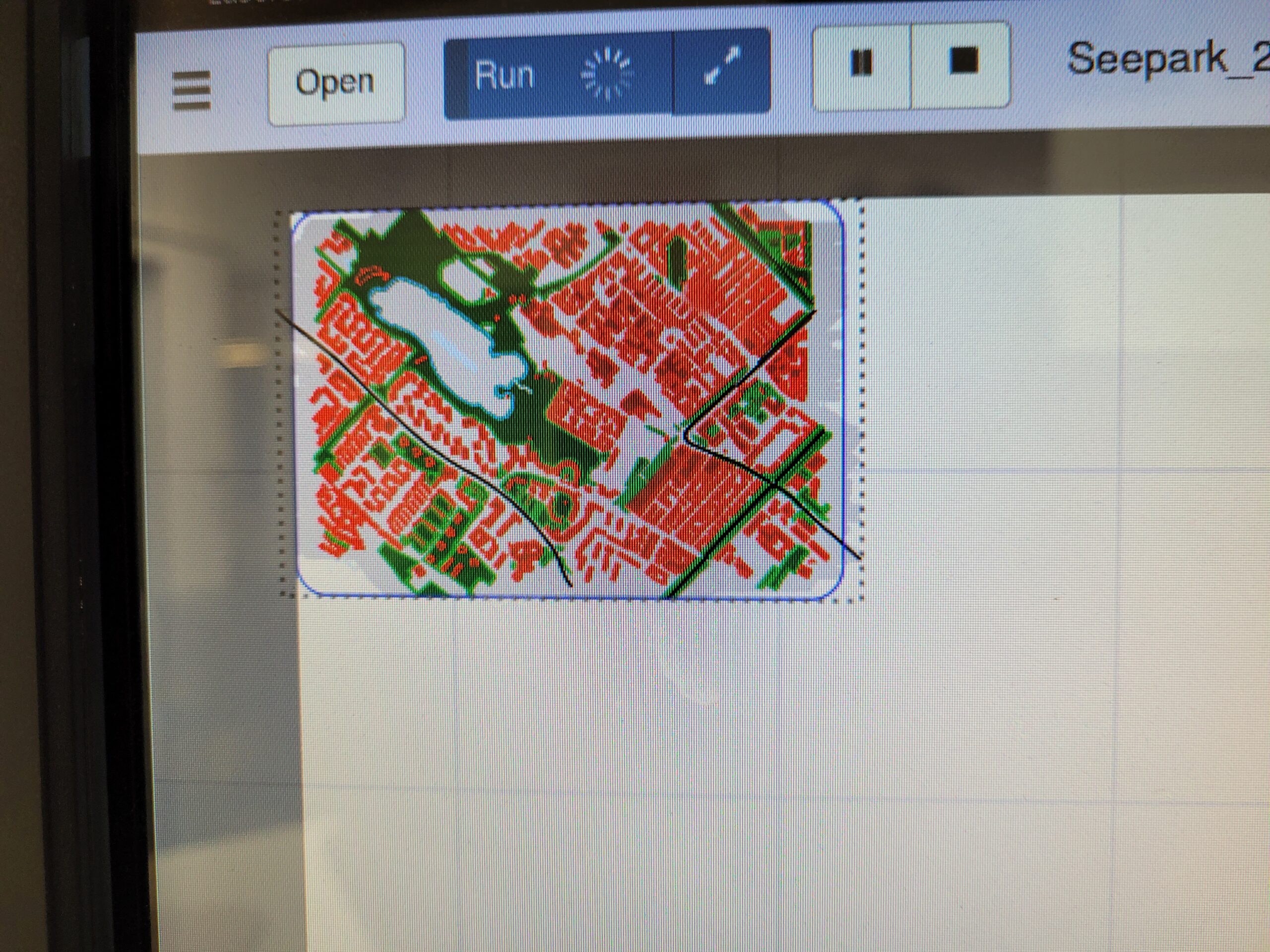
Geodata Processing
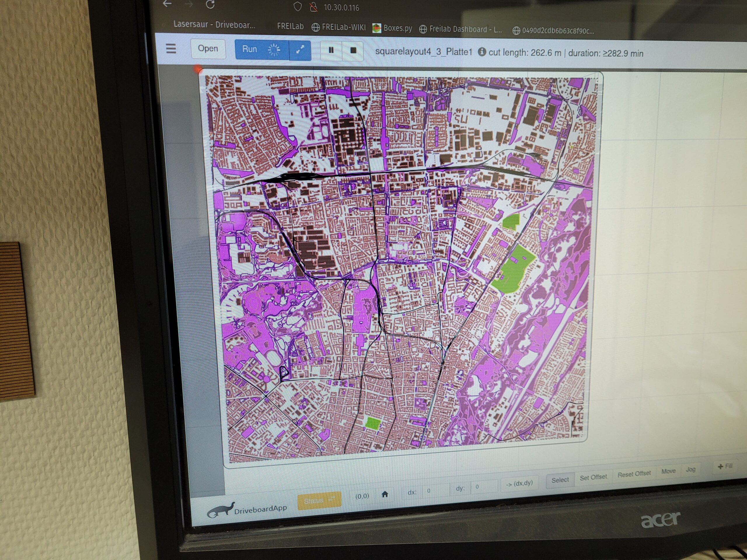
We used street and geodata from OpenStreetMap. Roads and Waterways got buffered to be around 11m (Small Roads and Waterways) and 22m (Large Roads), to get from single line paths to polygons.
Everything got engraved/cut with a scale of 1:11000.
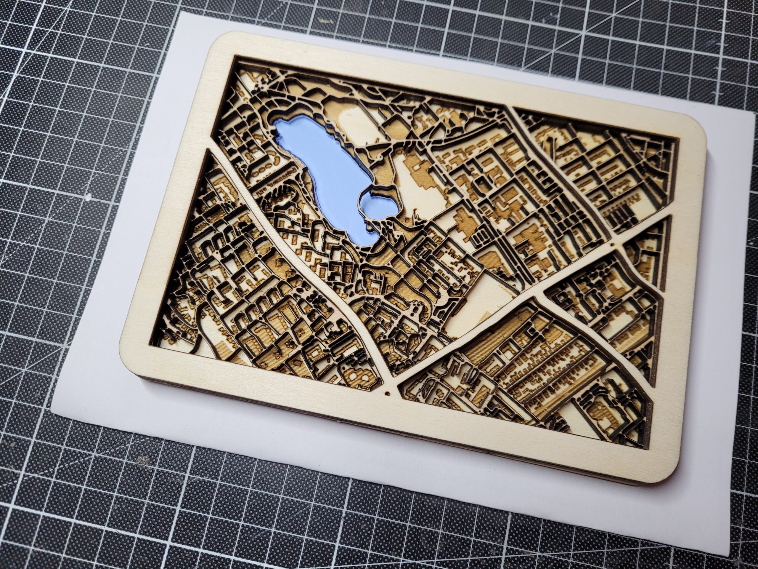
Prototype/Proof-of-concept model has a size of 10cm*15cm.
Big scale model has a size of 58cm*58cm.
Material
Software
Cutting Process
There are a lot of different approaches to engraving and cutting the processed vector graphics.
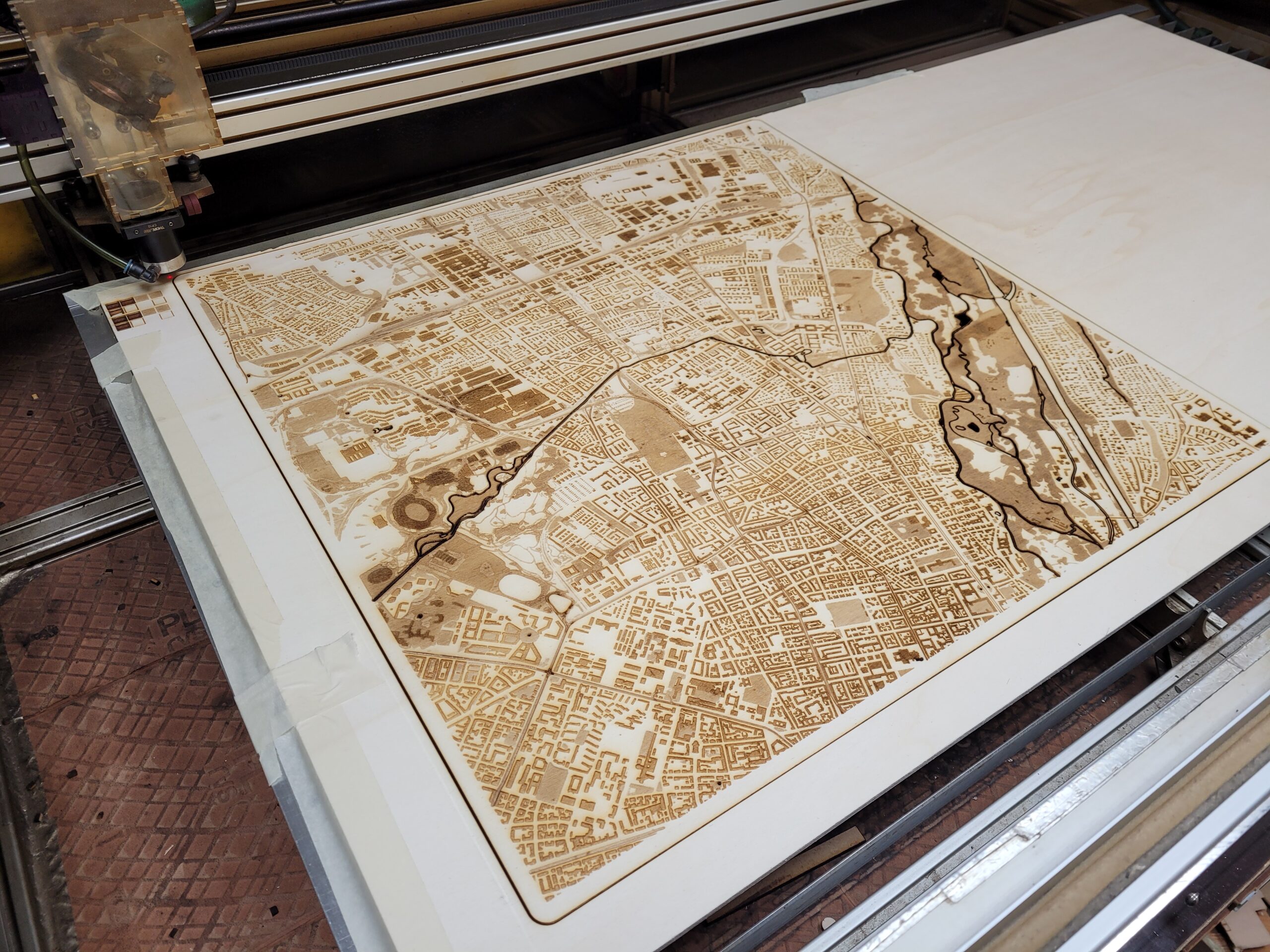
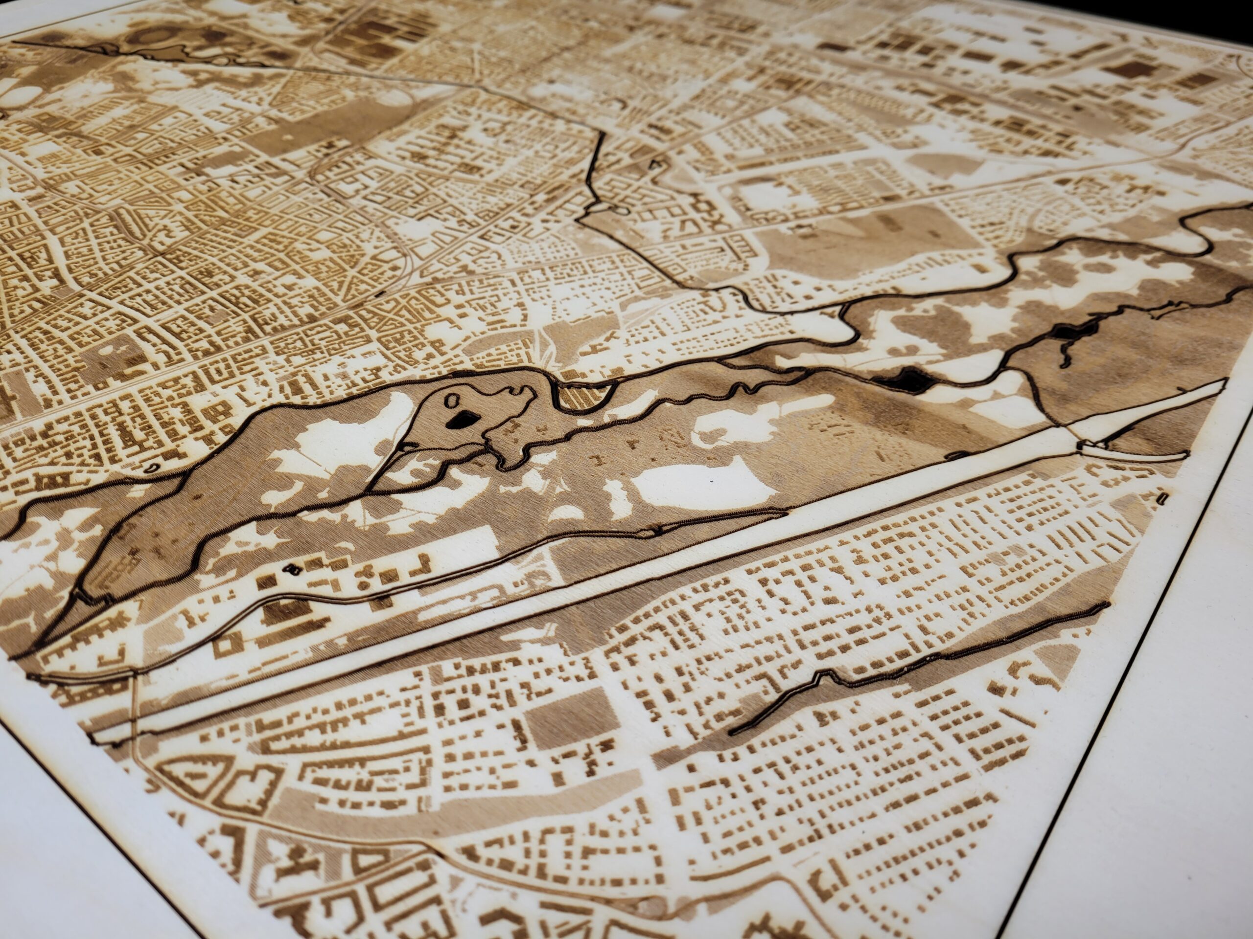
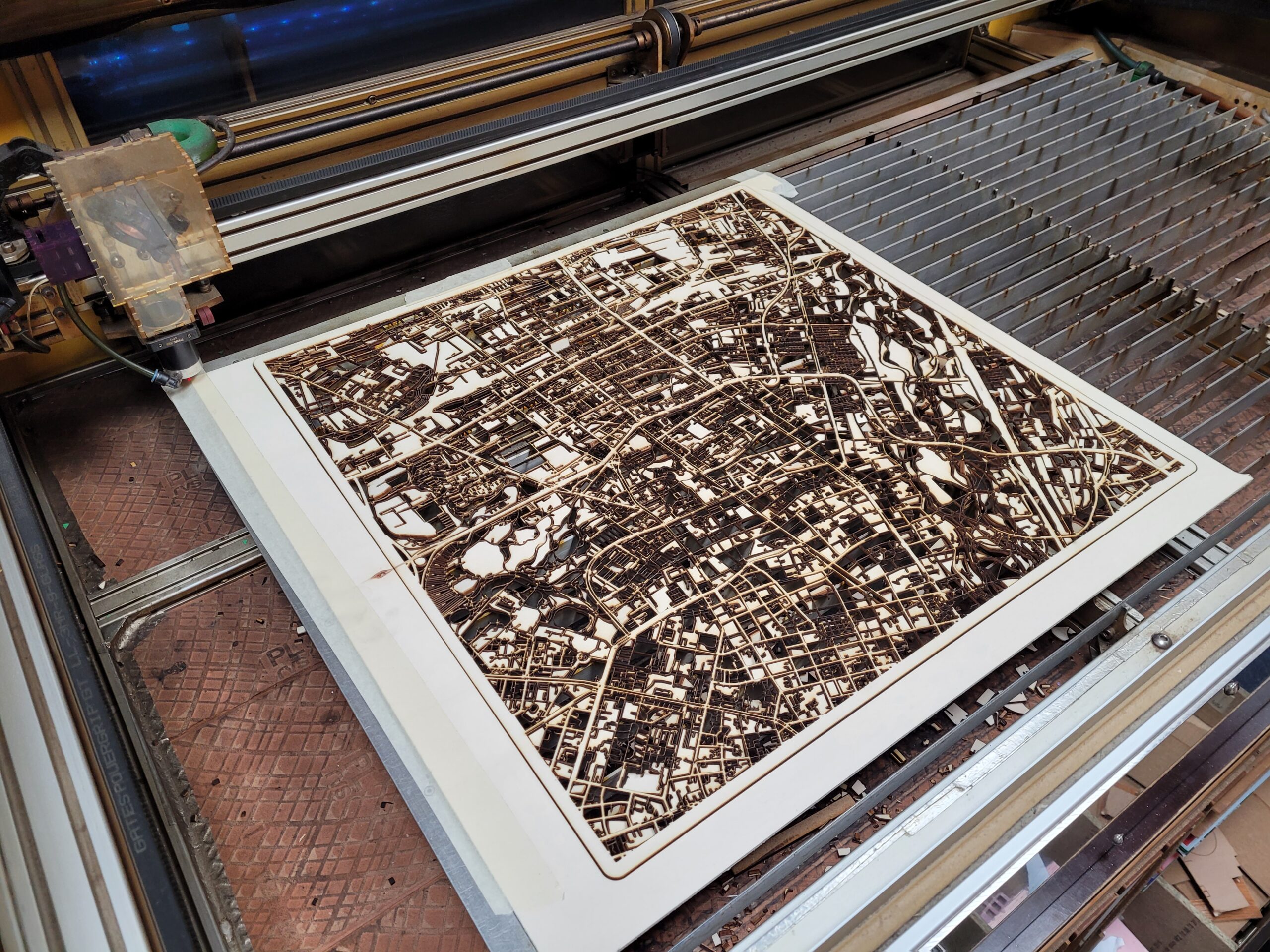
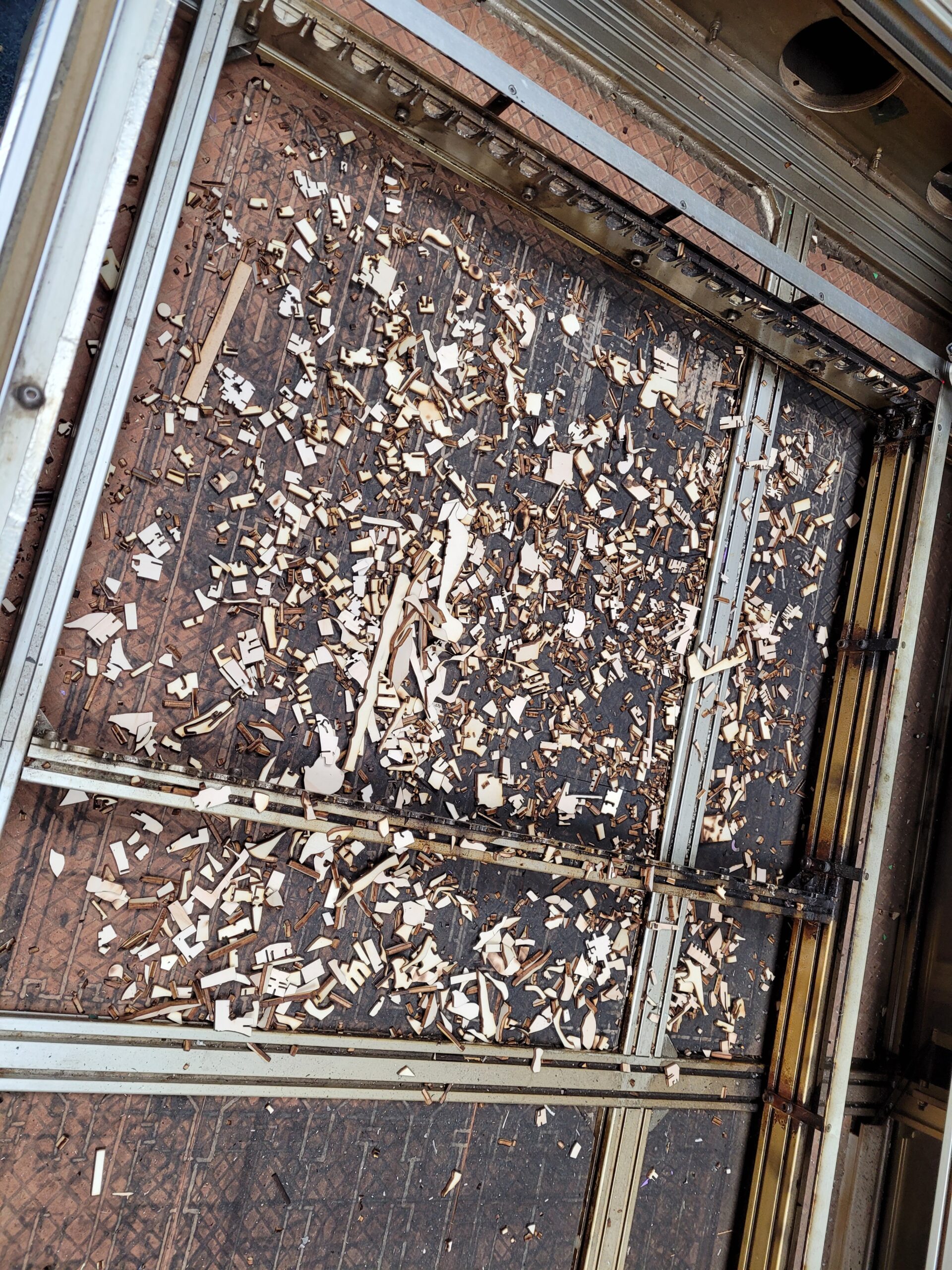
Since this was a quite big file (58cm * 58cm), I decided to engrave the different layers step by step instead of all at once with an inserted rasterized image. That way I had more control over different steps in case of (most feared) buffer errors. Of course this approach took quite some time and the cutter ran for over 12 hours!
We used our beloved Lasersaur with an 100W CO₂ Laser at FREILab.
| Layer | Speed | Intensity | Stepover | Duration | Material | Style |
|---|---|---|---|---|---|---|
| Buildings | 6000 | 25% | 0,2mm | 4,5h | 6mm poplar | Engraving |
| Buildings Stroke | 2000 | 25% | Skipped | Engraving | ||
| Railways | 2000 | 40% | 5m | Engraving | ||
| Natural Areas (Grassland) | 6000 | 20% | 0,4mm | 2,1h | Engraving | |
| Natural Areas (Trees) | 6000 | 15% | 0,4mm | 1,7h | Engraving | |
| Cemeteries | 6000 | 15% | 0,2mm | 5m | Engraving | |
| Lakes & Waterways & Frame | 1300 | 100% | 7m | Cutting | ||
| Streets Small | 1400 | 100% | 3,5h | 4mm poplar | Cutting | |
| Streets Large | 1400 | 100% | 7m | 4mm poplar | Cutting | |
| Backplate (Frame) | 1400 | 100% | 2m | 4mm poplar | Cutting |

